VK3/VE-178
Activated 23 August 2014
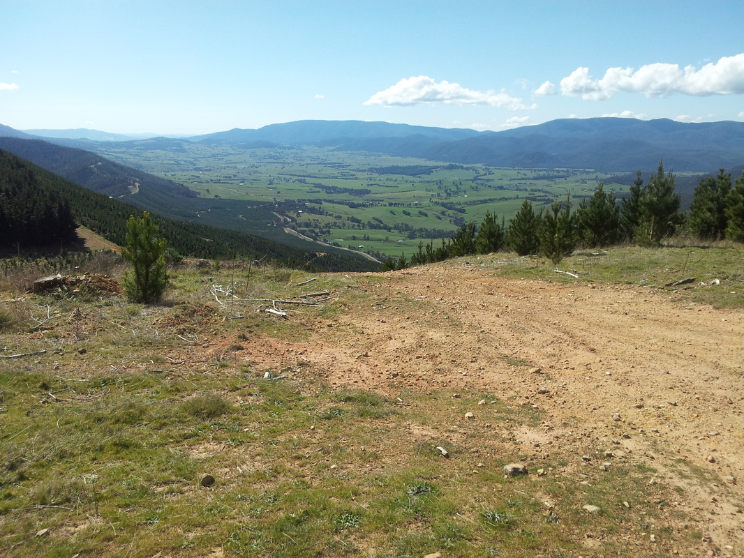
This summit is situated about 8 kilometres East of Myrtleford in a logging area. There are several well formed logging tracks that traverse the area which are normally closed to private vehicles but which provide relatively easy access by foot if you want to stroll for several kilometres. I chose to access the summit from Carrolls Road, parking near the intersection of Road 16. This was about the closest to the summit that I could reach by car with a steep walk to the top. The weather was unseasonally warm and most of the route was dry and dusty. The sun was strong and sunscreen was a must.
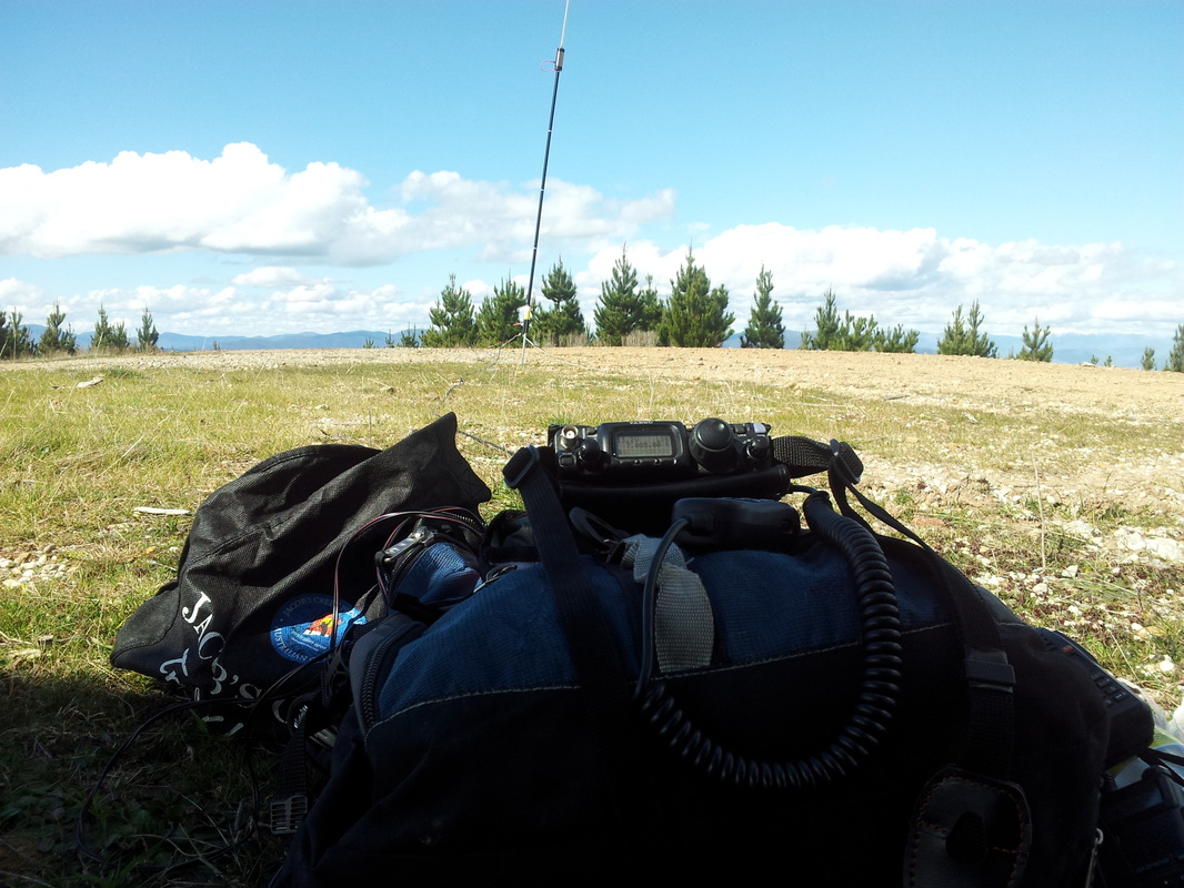
| As the summit levels out, a water tank comes into view in a large cleared area. I set up the radio in the shadow of the tank with views up the Happy Valley towards Falls Creek and fired up on 40 metres where my first contact was a S2S with Peter VK3PF on VK3/VT-013. Over the next hour I logged a total of 21 contacts. This was a good activation for S2S contacts – 5 in all including Ian VK1DI on VK2/ST-017, Rob VK2QR on VK2/SM-038, Brian VK3MCD on VK3/VE-090 and Peter VK3PF appearing on another summit VK3/VT016. |


