These two summits were on the planning list for awhile. Within striking distance of home and attractive because they are both worth 8 points plus winter bonus and are within range of each other within a day.
With the regular Saturday morning ferrying of the kids to choir classes and duties at the school fund raising sausage-sizzle out the front of our polling booths out of the way, I had some time to contemplate this twin activation if the weather was looking like holding out, which it did. I posted my alerts on SOTAWATCH at 4.30am on Sunday morning after checking the weather radar and deciding to go for it.
With the regular Saturday morning ferrying of the kids to choir classes and duties at the school fund raising sausage-sizzle out the front of our polling booths out of the way, I had some time to contemplate this twin activation if the weather was looking like holding out, which it did. I posted my alerts on SOTAWATCH at 4.30am on Sunday morning after checking the weather radar and deciding to go for it.
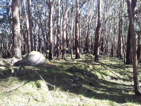 The operating rock on Bill Head summit
 Bill Head VK3/VN-004
Activated 8 September 2013.
It was a leisurely drive along Maroondah Highway with a few foggy patches around Croydon on the way. The roads were quiet and from the time I turned into Snobs Creek Road I did not see another vehicle or person for the whole time. I planned to do Bill Head first and headed up Conn Gap Road in the Triton for about 3.5 km and found a clearing to park. I walked from here about another 1.3 km where the road levelled off and from this point I left the road and headed in a westerly direction for about 550 metres through bush to the summit. This was a relatively easy bush-bash and a steady climb through new forest regrowth, patches of blackberries and burnt fallen timber from a bushfire.
On reaching the summit I decided to deploy the doublet as there were plenty of well spaced trees to use. I found a nice rock to prop the gear on and threw my lines up for the antenna. My throws were not the best and I lost a fair amount of my lines in a massive tangle before managing to get the antenna up at all. The result was a less than desirable situation with one side of the antenna pulled through the foliage and finishing pathetically low to the ground. With UTC rollover only minutes away and hearing a number of summits on the air that I wanted to work, I tried to tune the antenna but had real difficulty in getting the SWR under 3:1 which explained the ordinary signal reports that I received from a number of stations. None the less I pressed on and worked 17 stations in as many minutes with 6 of those being S2S contacts.
With this mission accomplished I packed up and headed back down to the car, this time picking up an overgrown fire track part of the way which made navigating back a little faster. After having a break back at the car and something to eat and drink, I headed back down to Snobs Creek Road and parked near the gated start of Mt Bullfight.
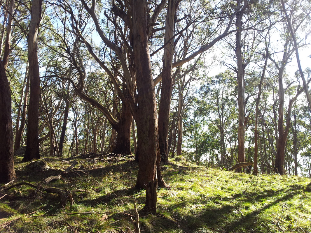
Near the Summit of Mt Bullfight
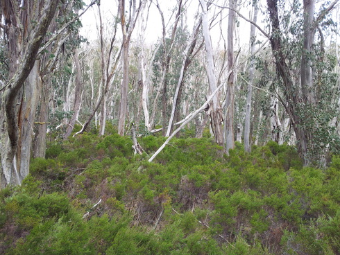 Some of the thicker bush that I had to penetrate to reach Mt Bullfight summit
 Mt Bullfight VK3/VN-002
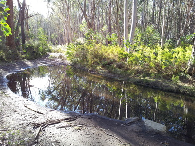
Mt Bullfight is accessed via Mt Bullfight Road, a seasonally closed road which is a pleasant walk. Parts of the track were awash with water run-off and there were some large deep puddles of water across the whole track up in the higher reaches. I can appreciate why the road is closed to vehicles during winter as it would quickly deteriorate with too much traffic. The road begins to level off after about 3km of walking and you will pass two green Mt Bullfight signs, one on either side of the track. Keep going for another 300 metres or so and the bush thins out a little and you will see another green Mt Bullfight sign. This is the point where I left the track and headed south, climbing to the left of the first hill with several prominent granite boulders around the top. Beyond this hill the route levelled off for a while before the last steady climb to the summit.
This off track walk was over 1 km and I could imagine some people walking in could get disorientated. This is not a summit to activate if you are unsure of your navigating skills and it is unlikely that you will hike out along the exact route you walked in. Take a real compass and don't rely solely on your smartphone apps or handheld GPS. I had no phone coverage and the batteries in my Magellan died. This is by far the longest off track bush-bashing I've done to reach any summit to date and one that I certainly didn't want to get into problems on. In addition to this, the display on my Wouxun HT went all weird and then blank. It still had TX and RX functions but was otherwise flying blind. I had to scan and wait until it found a signal and then put out a call and ask what repeater I was on. All of this added to a feeling of remoteness and helplessness if there was a severe change in weather, a serious injury or some other problem arising. It was comforting to have reliable contact on the Mt Wombat repeater and have a good chat with Peter VK3PF on his way home from the Shepparton Hamfest whilst I was crashing my way to the summit.
The bush-bashing had sapped some of my strength. I found a comfortable rock not far from the summit but definitely within the activation zone. With similar site conditions to the first activation of the day, I set up again but this time used the vertical antenna and had it up in a fraction of the time. Whilst laying out the counterpoise wires I disturbed an ant nest and sent thousands of the little critters into a frenzy. I watched them at work from time to time during the activation and they settled down considerably again over the hour or so I was there.
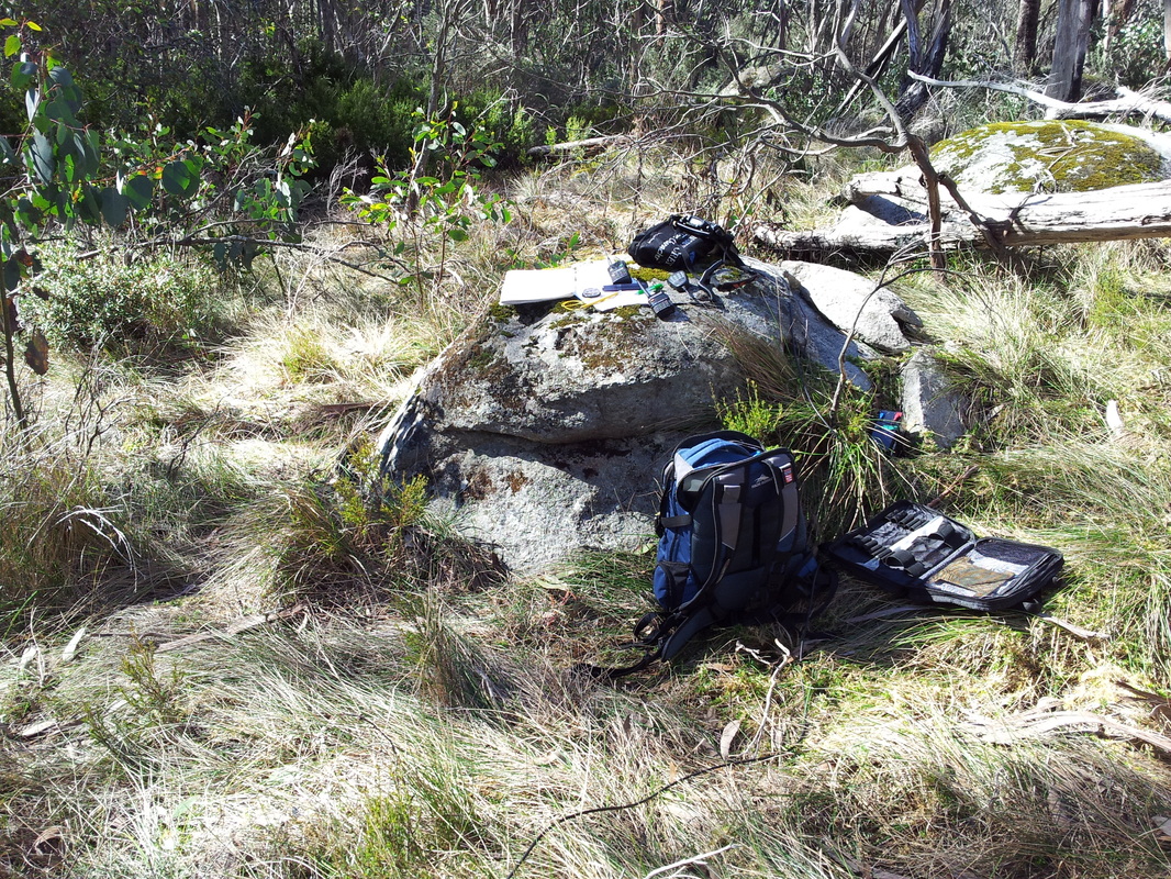
Mt Bullfight operating spot
 Mt Bullfight Rd near the start of the off-track walk
 This time around, my signal reports were better and contacts were easier. Conditions on 40 metres seemed to vary quite a lot with QSB at times and then some skip when a couple of ZL stations appeared on top of me, oblivious to my puny signal and coming in quite strongly for around 10 minutes or so before fading away again. The weather was fine and the sun was out in cloudless blue skies with virtually no wind. Perfect winter conditions for portable operating.
Once set up I tuned around and plucked off the other summit stations I could hear. VK1RX/2 on VK2/ST-001 was the first followed by the two Andrews VK1DA & VK1NAM both on VK1/AC-026. These were the only S2S contacts this time around out of a total of 17 contacts. When things quietened down I packed up and headed out, relying on just a traditional compass and the bearings I'd taken on the way in. I found my way back to Mt Bullfight Road and came out about 50 metres away from where I'd walked in. The walk down to the car was relatively quick and felt easy after over 2 km of bush-bashing.
Thanks to all the stations I worked. It was a good day for chasing and S2S contacts. At this rate, I'm only weeks away from becoming a Shack Sloth even though most contacts have been made when I’ve been on a summit or operating portable. Catch you on another peak soon.
